
International 05 September 2026
UN Adopts New Resolution to Phasing Out Mercator Map
Why in the News?
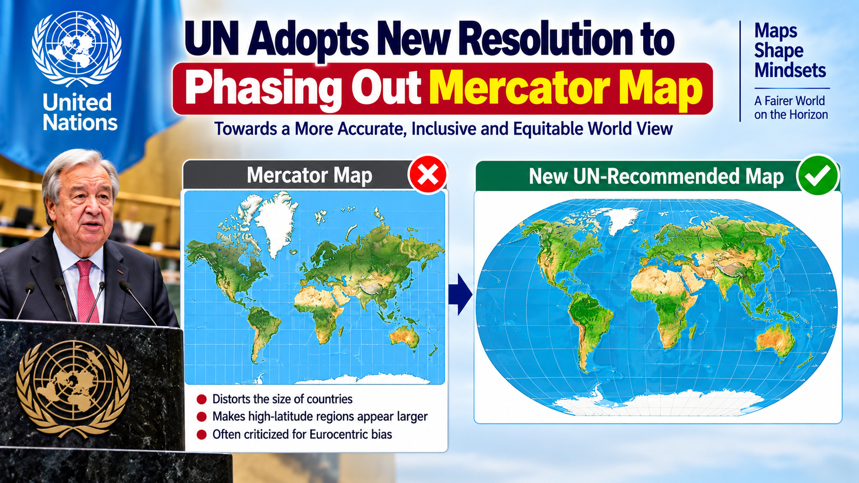
The United Nations General Assembly (UNGA) has voted to adopt a resolution to formally phase out the traditional 16th-century Mercator projection map in favor of the more accurate 2018 Equal Earth map projection.
Key Features / Major Points:
Resolution & Voting: Spearheaded by Togo on behalf of the African Union, the resolution passed with 164 votes in favor, 1 against (the United States), and 6 abstentions.
Core Objective: The Mercator map severely distorts the size of equatorial regions, making Africa and the Global South appear much smaller than they actually are. The Equal Earth projection accurately represents relative landmass areas.
Distortion Example: On a Mercator map, Africa appears similar in size to Greenland, whereas Africa is actually 14 times larger than Greenland.
Implementation: Although the UN resolution is non-binding, it is expected to reshape global educational curricula, textbooks, and digital mapping tools.
Static GK Facts:
Equal Earth Projection: Created in 2018 by cartographers Bojan Šavrič, Bernhard Jenny, and Tom Patterson.
Mercator Projection: Created in 1569 by Flemish cartographer Gerardus Mercator, primarily designed for maritime navigation.
United Nations General Assembly (UNGA): Headquarters: New York, USA.
One-Liner Quiz (All Competitive Exams):
Q: Which map projection design has the UN General Assembly endorsed to replace the traditional Mercator projection?
A: Equal Earth Projection
Q: Which country sponsored the "Correct the Map" resolution at the UN on behalf of the African Union?
A: Togo
Q: In which year was the original Mercator map projection created by Gerardus Mercator?
A: 1569